Roofing in Burnstedt Acres rests on strong evidence: the DUNA Original Plan from 1995 defines a subarea covering Lots 4 through 20, and assessor legal descriptions carry the plat name, Burnstedt Acres, an Official Plat. The anchors are 69th Street, 68th Street, Douglas Avenue, and Madison Avenue. Sampled builds include 1933, 1938, and 1940, plus a 2003 rebuild, which supports an INFERRED 1930s-era plat with later infill and rebuild, for the sampled properties.
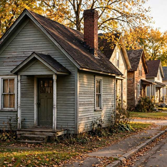
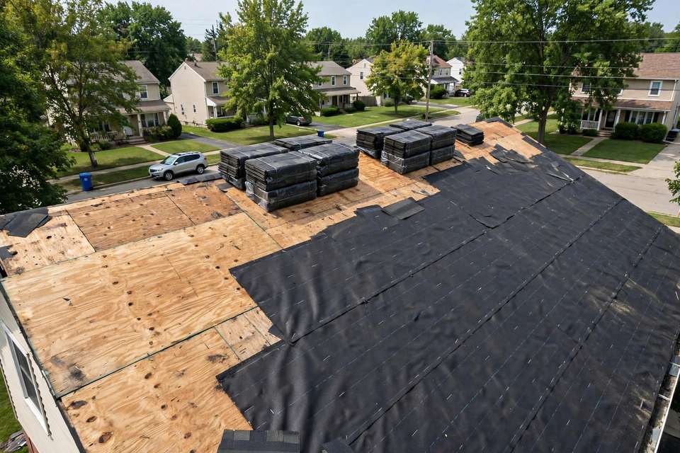
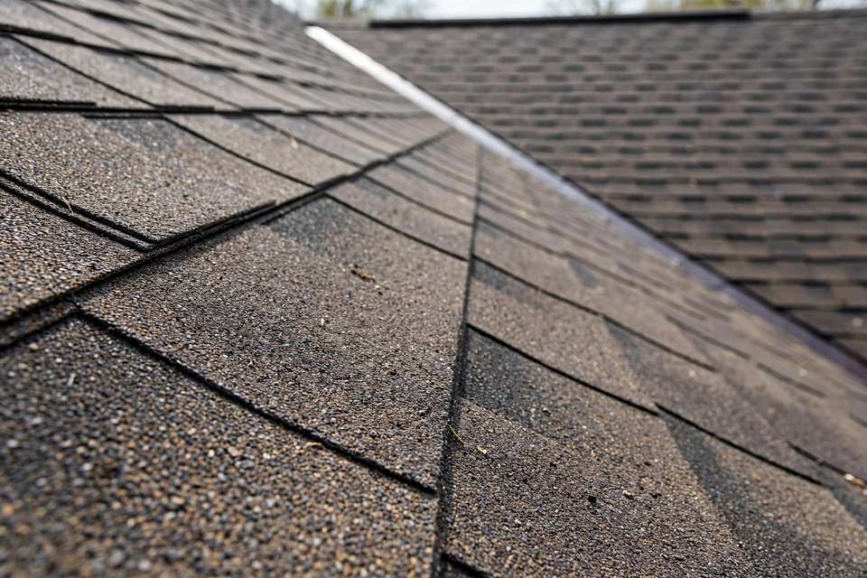
The homes are small. Sampled sizes run 704 to 2,010 square feet, and the streets are mixed-vintage: a new roof and a 90-year-old roof can sit side by side. On the oldest homes, the questions at replacement are about the original decking underneath and the small-footprint geometry, both verified on site. A roof of that age has usually been replaced before, and what matters is the condition of the deck and the layers above it now, not the year the house was built. For the visible signs of aging shingles, see why shingles curl and crack.
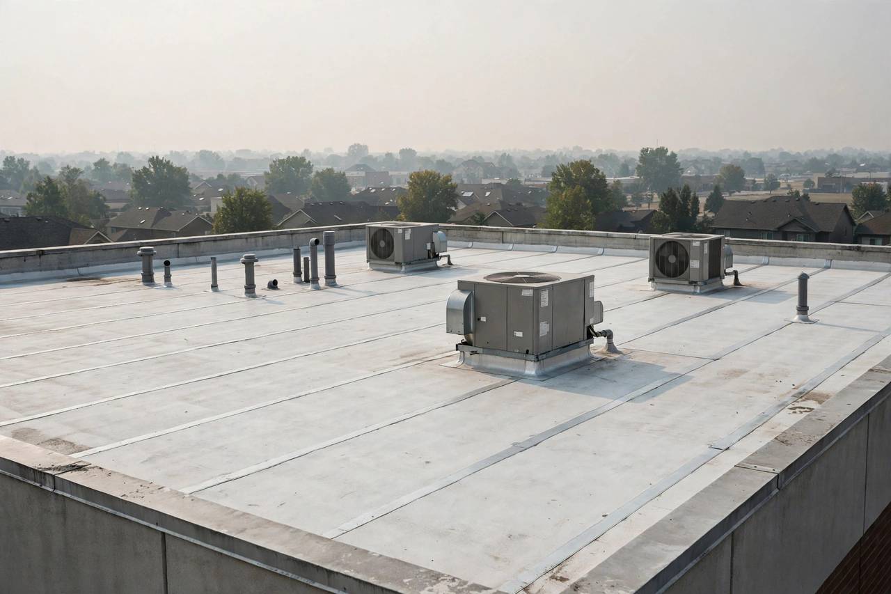
Douglas Avenue adds a commercial frontage inside the plat: a store building at 6823 Douglas Avenue on Lots 6 and 7, and retail at 3805 69th Street. That frontage is a separate scope, kept distinct from the residential lots, and its roof form is verified on site rather than described from the housing evidence. Corner-lot and right-of-way conditions for the DUNA-named lots are part of the same practical picture.
Burnstedt Acres sits inside the Downtown Urbandale Neighborhood Area, which overlaps the Downtown Urbandale page. The overlap is handled by cross-reference: Downtown content lives there and is not duplicated or double-counted here. Homeowners association and covenant status is unverified, boundaries beyond the DUNA subarea definition are unverified, and the 50322 ZIP association is rough only.