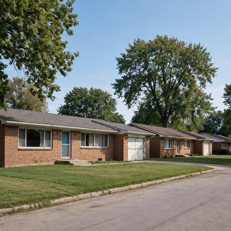
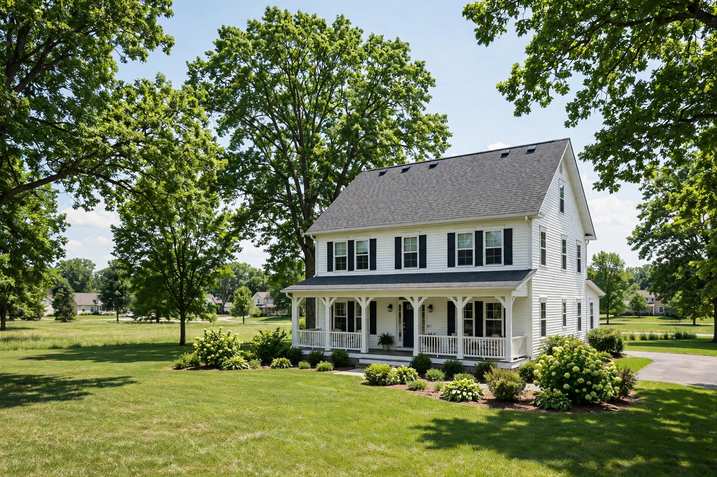
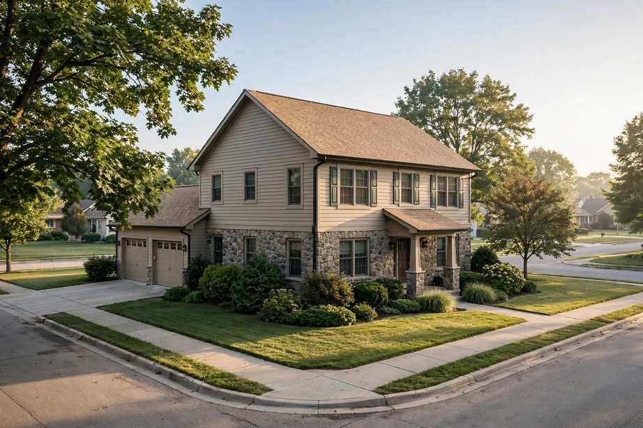
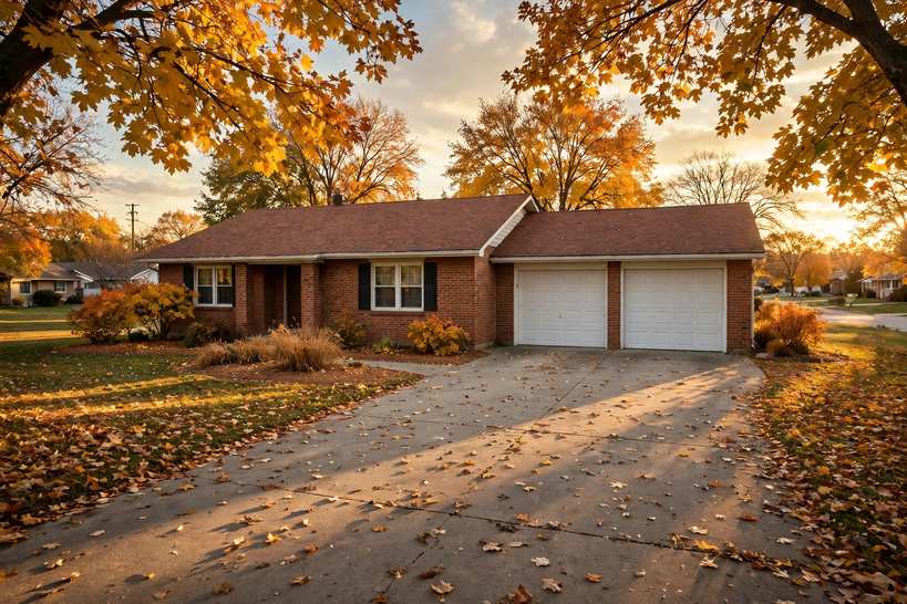
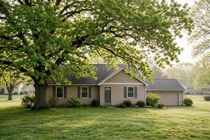
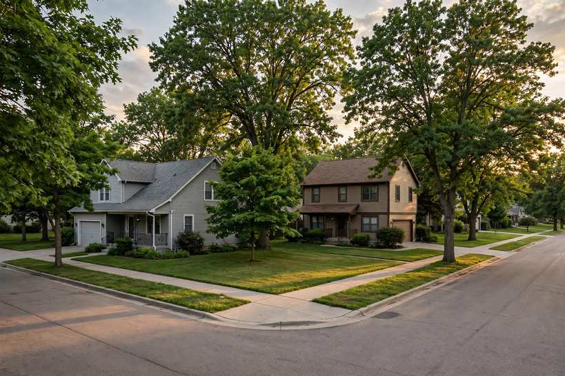
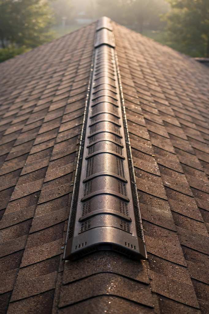
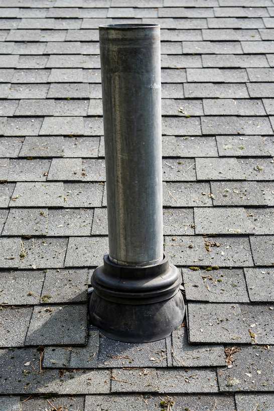
Roofing in Jensen Manor rests on strong evidence: assessor legal descriptions covering Lots 7 through 44, a DUNA legal-description boundary trace, and an MLS listing. Plat 1 only is evidenced. The anchors are 62nd Street from 4224 to 4320, Twana Drive, and Townsend Avenue at 6300. Sampled builds run 1966, which supports an INFERRED mid-1960s plat association for the sampled builds only. The recurring lot measures 9,855 square feet, 0.226 acres, 73 by 135 feet, with R-1S zoning, and that uniformity supports repeatable roof geometry, framed as conditional on plat-map confirmation.
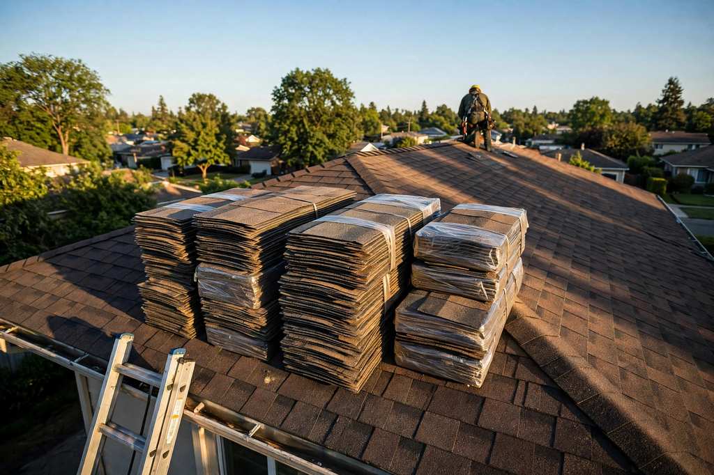
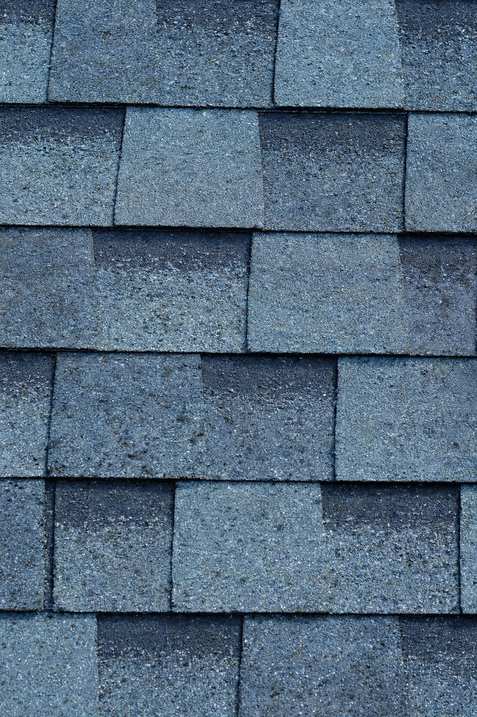
The DUNA boundary traces the plat's eastern lot lines, Lots 17 through 33, which makes this a DUNA-edge position: the plat is not claimed as a whole to sit inside DUNA, and Downtown content is cross-referenced to the Downtown Urbandale page rather than duplicated. Aurora Avenue forms a southern-edge frontage note. Mid-1960s deck, ventilation, and layer-count questions are the roofing substance, verified on the roof for each lot. For the visible signs of 1960s-era wear, see why shingles curl and crack.
A size conflict at 4237 62nd Street is published here as a conflict, not resolved: one source shows 1,226 square feet and another shows 1,628 square feet, while the lot size is consistent across sources. Neither figure is published without noting the conflict, and the conflict itself is the verify-by-parcel lesson. Homeowners association status is unverified: one MLS field for one parcel proves nothing plat-wide, and no HOA claim is published either way.
62nd Street carries a city-limit trap. The 62nd Street addresses here are Urbandale, while the same street's number range in the Erickson Heights record set is Des Moines. Jurisdiction follows the parcel, never the street, and this plat is the Urbandale side of that line. Boundaries beyond the DUNA trace are unverified, and the 50322 ZIP association is rough only.