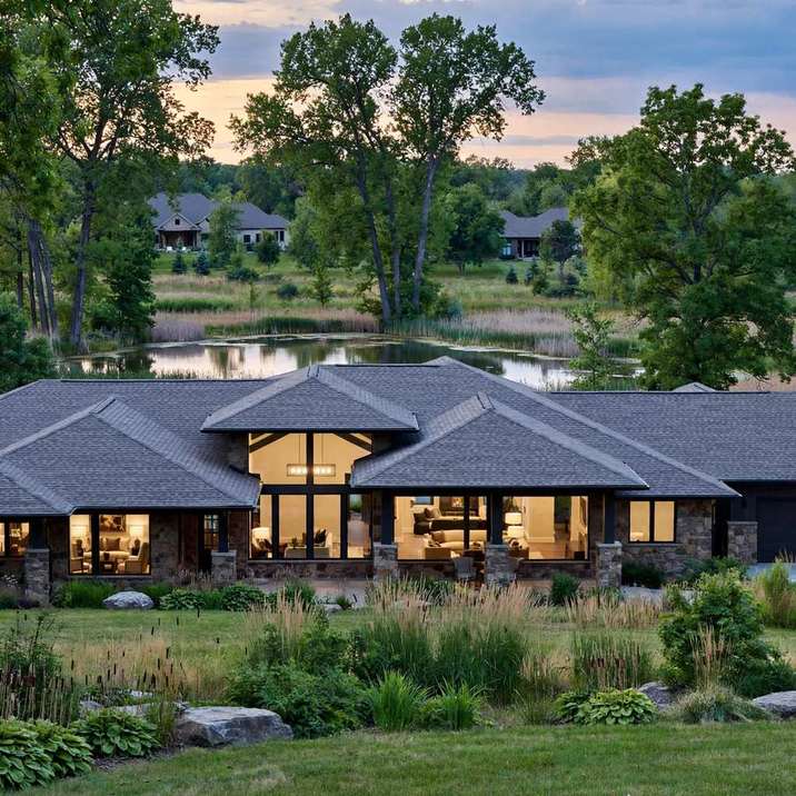
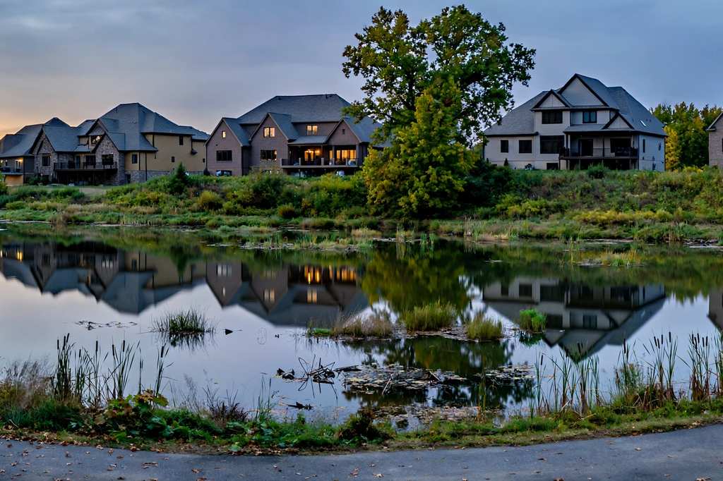
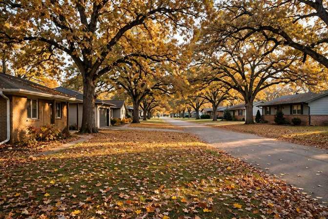
Roofing in Summit Estates is narrowed to a single plat with four samples: Summit Estates Plat 1 is evidenced, and the sampled builds run 2011–2014. The anchors are Maple Dr (16102, 16105, 16108, 16109), Brookshire Dr (16201), and 162nd St (3122, Lot 23, per an Iowa DNR Facility Explorer stormwater permit). The homes are single-family custom ranches — Bussanmas Construction is the named builder — with the 16105 sample noting 12-ft ceilings and a pond-backed lot. Lots run 0.42–0.66 acres. Waukee schools serve the area. Dallas County (Dallas APNs and the 161st–162nd St address grid); 50323.
Large-lot custom-ranch roofs frame the roofing questions here: wide roof areas where roof-area and complexity framing matters more than any single detail. Pond-backed lots add a water-adjacent exposure question, and 12-ft ceilings add interior volume with implications for attic and ventilation questions (both INFERRED). The 2011–14 cohort is approaching the 15-year mark, an INFERRED first-major-inspection window — a prompt to look, not a finding about any particular roof. The attic ventilation guide covers the heat and airflow questions that tall interior volumes raise.
A measurement conflict is flagged openly, and neither figure is published as definitive: for 16102 Maple Dr, listing text gives over 4,700 sq ft finished, while a RealtyWire record for the week ending September 6, 2026 gives 2,592 sq ft. The basis difference — finished-total versus main-level measures — is INFERRED, not stated by either source. Records for this address should be checked against the parcel, not quoted from either figure alone.
The association named Summit Estates (Terrus, per the 16102 listing) has an unverified fee and unverified roofing scope — no fee figure is published here, and no roofing rule is claimed. One cross-reference resolves a label question: 16201 Brookshire Dr sits in Summit Estates Plat 1, which settles the Brookshire label for this stretch; the corridor-reference note for the Brookshire Dr label lives on the locations page. The DNR stormwater-permit footprint at 162nd St, Lot 23, is a useful public-record anchor for the extent of the plat, though it does not widen the evidence base beyond a single plat.